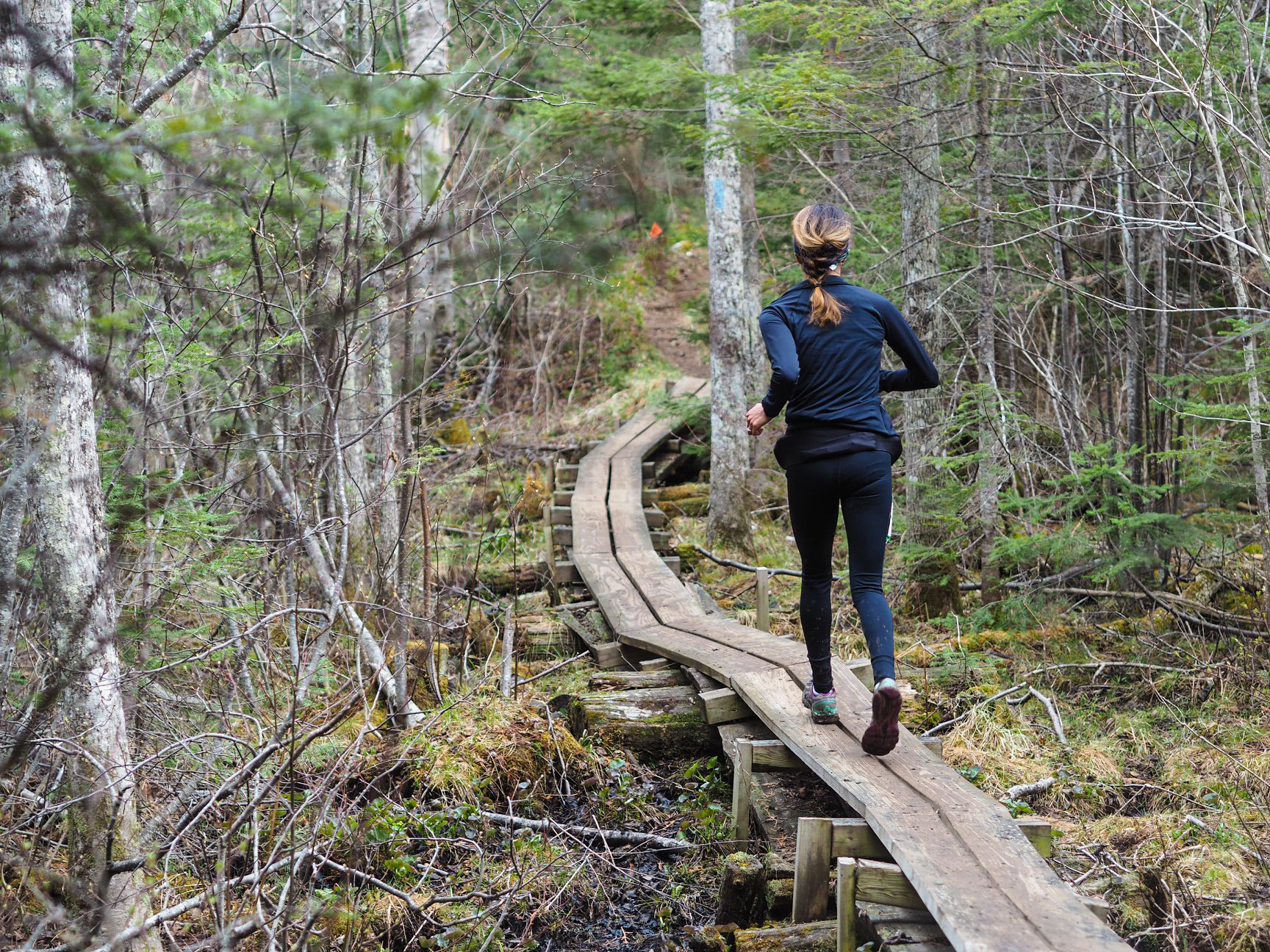
Ancient Woods – Photo Credit Kevin Langton

Last year, we were super excited to announce the creation of a new 12.5 KM (7.75 MI) race distance as part of the Superior Spring Trail Race weekend.  The new 12.5K race was held on a a section of trail North of Lutsen which is different from the 25KM and 50KM races. The race was super well received and a huge success by all measures – many runners commenting that this course might just be the crown jewel of the Superior Spring Trail Race weekend!

We are thrilled to be hosting this race again in 2019!  A new Superior Spring Trail Race tradition has been born! The motivation behind the addition of this new distance was three-fold…

1.) To allow more people to participate in the Superior Spring Trail Race.  Due to the popularity of the Superior Spring Trail Race over the last number of years we have had to institute a lottery system for the races and unfortunately have had to turn many people away in order to adhere to our field limit.  In speaking with runners it was our understanding that many who are entering the lottery  would be happy to and in some cases may even prefer to run a shorter race.

2.) To allow those runners who are not quite ready to, or do not have ambitions of tackling the longer 15.5 mile or 31 mile distances of the Spring Races (or the 26.2 mile, 50 mile and 100 mile distances of the Fall Races) to participate in a Rocksteady Running race on the North Shore sections of the Superior Hiking Trail.

3.) To showcase another awesome section of the Sueprior Hiking Trail!

The lottery registration period for the 2019 race opened on January 1, 2019 and closes on January 15, 2019 with the lottery drawing held thereafter.  For 2019 we have increased the field limit by 50 participants, to 325 in total, and so far it looks like the chances of lottery applicants getting in is going to pretty good!  We look forward to seeing many of you come back and to introducing some new folks to trail running / racing on the Superior Hiking Trail!

+

If you would like to see a photo gallery of what the race course looks like, one can be found HERE

An interview with last years men’s winner Wynn Davis can be found HERE

An interview with last years women’s winner Bayli Maliszewski can be found HERE

Specific information about the new 12.5K distance can be found HERE

A map of the course can be found HERE

Complete registration information can be found HERE

Superior Spring Trail Race
50KM, 25KM & 12.5KM
Lutsen, Minnesota
Saturday May 16, 2020
50KM 7:00AM
25KM 8:00AM
12.5KM 9:00AM

Registration / Lottery:
Opens Wednesday January 1st, 2020 – 12:01AM CST
Closes Wednesday January 15th, 2020 – 11:59PM CST
* Due to high demand, registration for the Superior “Spring” Trail Race is held via a lottery, more details about the lottery can be found HERE

Directions to Race Start:
Caribou Highlands Resort / Lodge
371 Ski Hill Road
Lutsen, MN 55612
Google Maps Directions HERE
Approx Travel Times
1:15 North of Two Harbors, MN
1:45 North of Duluth, MN
4:00 North of Minneapolis, MN

Terrain / Course Description:
The Superior 12.5KM, 25KM and 50KM Trail Races are extremely hilly, rugged and technical out-and-back (100% trail) trail-races which traverses the Sawtooth Mountain Range on the Superior Hiking Trail in the far reaches northern Minnesota .  The course parallels Lake Superior, the greatest freshwater lake in the world, climbs to near 2000′ peaks with breath-taking vistas of the lake and inland forests and crosses whitewater rivers and serene streams while meandering through mystic Boreal forests.  The races start and finish at Caribou Highlands Resort in Lutsen Minnesota.

Superior 50KM
25KM Out & Back Course = 50KM (31MI)
Elevation Gain 4,200 FT
Elevation Loss 4,200 FT
NET Elevation Change 8,400 FT
4 Aid Stations
9 Hour Time Limit
Starts at 7:00AM Saturday
Compete 50KM Info HERE

Superior 25KM
12.5KM Out & Back Course = 25KM (15.1MI)
Elevation Gain 2,300 FT
Elevation Loss 2,300 FT
NET Elevation Change 4,600 FT
1 Aid Station
8 Hour Time Limit
Starts Saturday at 8:00AM
Complete 25KM Info HERE

Superior 12.5KM
12.5KM Point to Point Course. 12.5KM = 7.75MI
Elevation Gain  900 FT
Elevation Loss 1,050 FT
NET Elevation Change 1,950 FT
NO Aid Stations
7 Hour Time Limit
Starts Saturday at 9:00AM
Complete 12.5KM Info HERE

More About the Area:
The North Shore of Lake Superior runs from Duluth, Minnesota at the Southwestern end of the lake, to Thunder Bay and Nipigon, Ontario, Canada, in the North to Sault Ste. Marie, Ontario, in the east. The shore is characterized by alternating rocky cliffs and cobblestone beaches, with rolling hills and ridges covered in boreal forest inland from the lake, through which scenic rivers and waterfalls descend as they flow to Lake Superior. The shoreline between the city of Duluth to the international border at Grand Portage as the North Shore.  Lake Superior is considered the largest freshwater lake in the world by surface area. It is the world’s third-largest freshwater lake by volume and the largest by volume in North America.  The Superior Hiking Trail, also known as the SHT, is a 310-mile long distance hiking single-track hiking trail in Northeastern Minnesota that follows the ridgeline overlooking Lake Superior for most of its length. The trail travels through forests of birch, aspen, pine, fir, and cedar. Hikers and runners enjoy views of boreal forests, the Sawtooth Mountains, babbling brooks, rushing waterfalls, and abundant wildlife. The lowest point on the trail is 602 feet above sea level and the highest point is 1,829 feet above sea level.